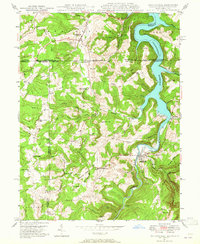
1947 Map of Friendsville
USGS Topo · Published 1965About this map
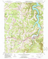
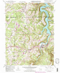
Youghiogheny River Reservoir dominates this landscape on the border of Maryland and Pennsylvania, its waters filling the deep valley where the Youghiogheny River once flowed unimpeded. Surveyed in the late 1940s, the map documents the area during a period of transition as the reservoir's controlled inundation transformed local geography. The settlement of Friendsville sits just south of the state line, while further west, high-elevation communities like Markleysburg and Asher Glade are situated along the National Pike and secondary roads.
Find a feature on this map
67 named features on this map. Tap any name to fly to it.
Don’t see what you’re looking for? This feature index may not catch every label — zoom into the map to look around manually.
Map Details
Editions of this 1947 Friendsville Map
6 editions found
Other maps of this area

1900 · Accident
USGS Topo · 1:62,500

1900 · Uniontown
USGS Topo · 1:62,500

1904 · Bruceton
USGS Topo · 1:62,500

1922 · Confluence
USGS Topo · 1:62,500

1926 · Bruceton
USGS Topo · 1:62,500

1931 · Uniontown
USGS Topo · 1:62,500

1931 · Confluence
USGS Topo · 1:62,500

1931 · Bruceton Mills
USGS Topo · 1:62,500

1933 · Confluence
USGS Topo · 1:62,500

1933 · Bruceton
USGS Topo · 1:62,500