
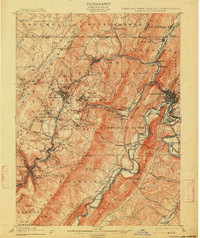
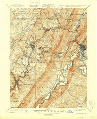
1908 Map of Frostburg
USGS Topo · Published 1908This historical map portrays the area of Frostburg in 1908, primarily covering Allegany County as well as portions of Pennsylvania and West Virginia. Featuring a scale of 1:62500, this map provides a highly detailed snapshot of the terrain, roads, buildings, counties, and historical landmarks in the Frostburg region at the time. Published in 1908, it is one of 5 known editions of this map due to revisions or reprints.
Find a feature on this map
93 named features on this map. Tap any name to fly to it.
Don’t see what you’re looking for? This feature index may not catch every label — zoom into the map to look around manually.
Map Details
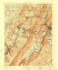
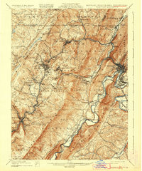
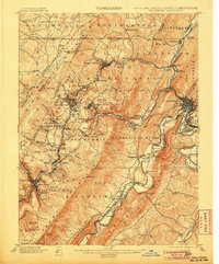
Editions of this 1908 Frostburg Map
5 editions found
Historical Maps of Rolling Mills Through Time
10 maps found

1898 Frostburg
Allegany County, MD
1901 Frostburg
Allegany County, MD
1908 Frostburg
Allegany County, MD
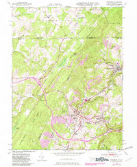
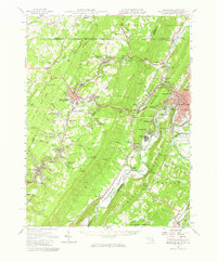
1949 Frostburg
Allegany County, MD
1950 Frostburg
Allegany County, MD
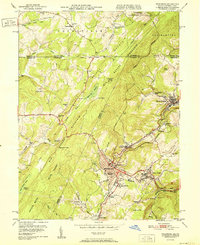
1951 Frostburg
Allegany County, MD
1951 Frostburg
Allegany County, MD
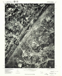
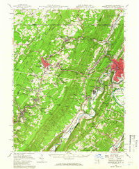
1977 Frostburg
Allegany County, MD
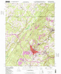
1998 Frostburg
Allegany County, MD
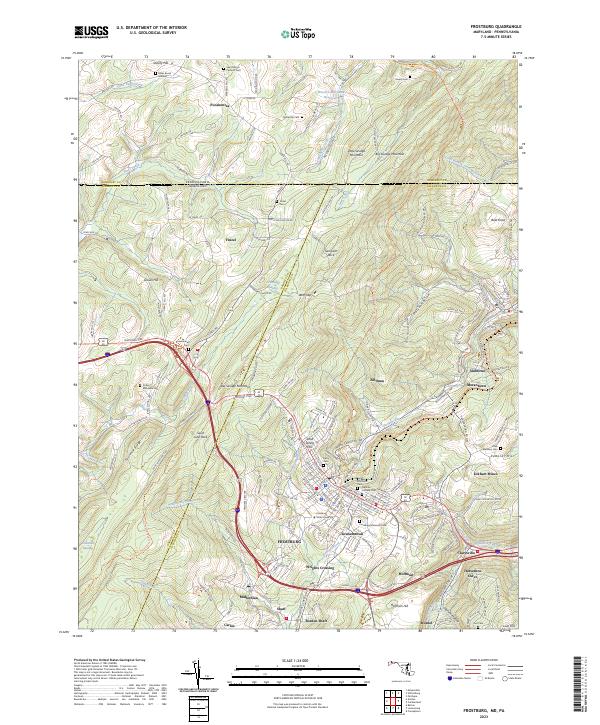
2023 Frostburg
Allegany County, MD