
1908 Map of Frostburg
USGS Topo · Published 1908About this map
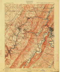
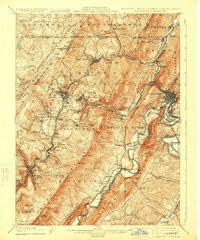
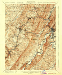
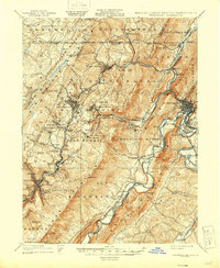
Mount Savage and the industrial corridors of Allegany County dominate this 1908 topographic study, captured just before the height of the region's coal and rail era. The landscape is defined by the sharp descent from the Mount Savage Mountain and Little Allegheny Mountain ridges toward the Potomac River valley. This map meticulously tracks the dense network of mining settlements and rail spurs that fed the Maryland economy, including the Cumberland & Pennsylvania RR connecting coal patches like Eckhart Mines, Hoffman, and Borden Shaft.
Find a feature on this map
93 named features on this map. Tap any name to fly to it.
Don’t see what you’re looking for? This feature index may not catch every label — zoom into the map to look around manually.
Map Details
Editions of this 1908 Frostburg Map
5 editions found
Other maps of this area

1891 · Romney
USGS Topo · 1:125,000

1895 · Piedmont
USGS Topo · 1:125,000

1898 · Frostburg
USGS Topo · 1:62,500

1899 · Flintstone
USGS Topo · 1:62,500

1899 · Grantsville
USGS Topo · 1:62,500

1900 · Flintstone
USGS Topo · 1:62,500

1901 · Frostburg
USGS Topo · 1:62,500

1904 · Grantsville
USGS Topo · 1:62,500

1919 · Elk Garden
USGS Topo · 1:48,000

1920 · Elk Garden
USGS Topo · 1:48,000