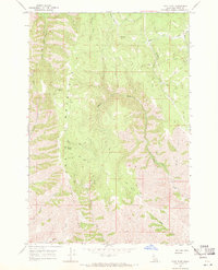
1968 Map of Frye Point
USGS Topo · Published 1971About this map
Craig Mountain dominates this interior portion of Nez Perce County, where the high ridge lines of Wapshilla Ridge and the peak at Frye Point overlook a complex network of canyons and drainages. The landscape is defined by its water sources, from high-elevation clearings like Larabee Meadows and Benton Meadows to the deeply incised paths of Eagle Creek and the South Fork Captain John Creek. In this late 1960s survey, human presence is sparse and primarily limited to specific named locations like Zaza and Morris, which appear as isolated points connected by an extensive network of Jeep Trails. The abundance of named springs, such as Roberts Spring, and seasonal watercourses like China Gulch and Cave Creek, suggests a landscape used for seasonal grazing or resource extraction rather than dense permanent settlement.
Find a feature on this map
16 named features on this map. Tap any name to fly to it.
Don’t see what you’re looking for? This feature index may not catch every label — zoom into the map to look around manually.
Map Details
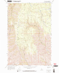
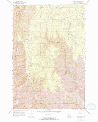
Editions of this 1968 Frye Point Map
3 editions found
Other maps of this area

1946 · Limekiln Rapids
USGS Topo · 1:62,500

1955 · Pullman
USGS Topo · 1:250,000

1955 · Grangeville
USGS Topo · 1:250,000

1958 · Pullman
USGS Topo · 1:250,000

1959 · Grangeville
USGS Topo · 1:250,000

1963 · Jim Creek Butte
USGS Topo · 1:24,000

1963 · Rattlesnake Ridge
USGS Topo · 1:24,000

1963 · Wapshilla Creek
USGS Topo · 1:24,000

1967 · Hoover Point
USGS Topo · 1:24,000

1968 · Waha
USGS Topo · 1:24,000