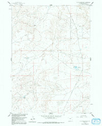
1960 Map of Fuller Reservoir
USGS Topo · Published 1991About this map
Water management and energy exploration define this 1960 landscape in the Wind River Basin, where a network of catchments like Fuller Reservoir and Allard Reservoir sits among the arid drainage of the Muskrat Creek system. The map records a transition in the local ranching and industrial economy, capturing several scattered Oil Wells that highlight the mid-century petroleum development in Fremont County.
Find a feature on this map
18 named features on this map. Tap any name to fly to it.
Don’t see what you’re looking for? This feature index may not catch every label — zoom into the map to look around manually.
Map Details
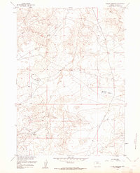
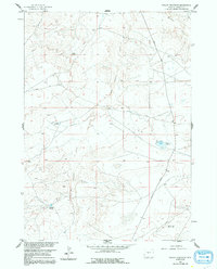
Editions of this 1960 Fuller Reservoir Map
3 editions found
Other maps of this area

1951 · Fuller Reservoir
USGS Topo · 1:24,000

1951 · Indian Butte
USGS Topo · 1:24,000

1951 · Hidden Valley
USGS Topo · 1:24,000

1951 · Shoshoni
USGS Topo · 1:24,000

1952 · Ocla Draw
USGS Topo · 1:24,000

1952 · Double Butte
USGS Topo · 1:24,000

1952 · Haybarn Hill
USGS Topo · 1:24,000

1953 · Campbell Ridge
USGS Topo · 1:24,000

1955 · Thermopolis
USGS Topo · 1:250,000

1955 · Arminto
USGS Topo · 1:250,000