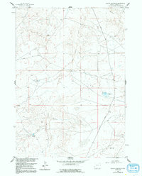
1960 Map of Fuller Reservoir
USGS Topo · Published 1991About this map
Dry Cheyenne Creek and its seasonal drainage network define the high-desert landscape of Fremont County during this mid-century period. Developed as part of a Missouri River Basin program, the area showcases a reliance on water management for ranching and resource extraction, with scattered impoundments like Allard Reservoir, Brody Reservoir, and Deadman Reservoir catching runoff across the arid plains. The presence of several Oil Wells and a Well near Fuller Reservoir suggests the active energy exploration common to this part of Wyoming. Transportation is limited to a few arterial routes such as Shoshoni Road and Nebo Road, which cut through the drainage of Muskrat Creek. This survey reflects the infrastructure of a working landscape where geodetic control points like Muskrat VABM Azimuth 5393 were essential for navigating and mapping the sparse interior.
Find a feature on this map
11 named features on this map. Tap any name to fly to it.
Don’t see what you’re looking for? This feature index may not catch every label — zoom into the map to look around manually.
Map Details
Editions of this 1960 Fuller Reservoir Map
3 editions found
Other maps of this area

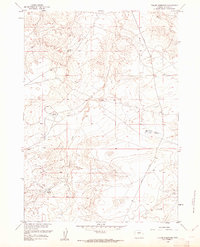
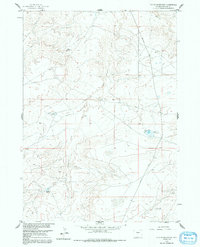
1951 · Fuller Reservoir
USGS Topo · 1:24,000

1951 · Indian Butte
USGS Topo · 1:24,000

1951 · Hidden Valley
USGS Topo · 1:24,000

1951 · Shoshoni
USGS Topo · 1:24,000

1952 · Ocla Draw
USGS Topo · 1:24,000

1952 · Double Butte
USGS Topo · 1:24,000

1952 · Haybarn Hill
USGS Topo · 1:24,000

1953 · Campbell Ridge
USGS Topo · 1:24,000

1955 · Thermopolis
USGS Topo · 1:250,000

1955 · Arminto
USGS Topo · 1:250,000