
1966 Map of Gainesville West
USGS Topo · Published 1967About this map
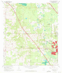
Gainesville expands westward during the mid-1960s, showing a suburban landscape defined by new residential developments like Suburban Heights and Beville Heights. This transition from rural Alachua County is evident as residential tracts meet active agricultural research areas, such as the University of Florida Agricultural Experimental Station and the University of Florida Experimental Farm. The northern reaches remain largely undeveloped, dominated by the wetlands of Sanchez Prairie and the unique geological sinkhole at Devils Mill Hopper.
Find a feature on this map
68 named features on this map. Tap any name to fly to it.
Don’t see what you’re looking for? This feature index may not catch every label — zoom into the map to look around manually.
Map Details
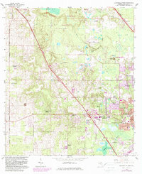
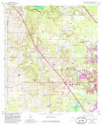
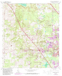
Editions of this 1966 Gainesville West Map
6 editions found
Other maps of this area

1890 · Arredondo
USGS Topo · 1:62,500

1892 · Arredondo
USGS Topo · 1:62,500

1894 · Arredondo
USGS Topo · 1:62,500

1954 · Gainesville
USGS Topo · 1:250,000

1958 · Gainesville
USGS Topo · 1:250,000

1959 · Gainesville
USGS Topo · 1:250,000

1962 · High Springs
USGS Topo · 1:24,000
1966 · Micanopy
USGS Topo · 1:24,000

1966 · Arredondo
USGS Topo · 1:24,000
1966 · Gainesville East
USGS Topo · 1:24,000