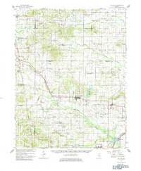
1963 Map of Galatia
USGS Topo · Published 1984About this map
The Middle Fork Saline River defines much of the topography in this portion of Southern Illinois, as shown in this 1963 survey. The landscape is a mix of agricultural plots and industrial activity, specifically centered around the coal-producing regions of Brushy and the Brushy Railroad Grade. The rail infrastructure is prominent, featuring the Illinois Central Railroad connecting settlements like Rileyville and Galatia. Local life is anchored by small rural crossroads and faith-based landmarks such as Tate Chapel and Union Grove Ch.
Find a feature on this map
106 named features on this map. Tap any name to fly to it.
Don’t see what you’re looking for? This feature index may not catch every label — zoom into the map to look around manually.
Map Details
Editions of this 1963 Galatia Map
2 editions found
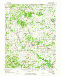
Other maps of this area

1905 · Eldorado
USGS Topo · 1:62,500

1906 · Eldorado
USGS Topo · 1:62,500

1908 · Galatia
USGS Topo · 1:62,500

1909 · West Frankfort
USGS Topo · 1:62,500

1916 · Equality
USGS Topo · 1:62,500

1925 · Marion
USGS Topo · 1:62,500

1925 · Harrisburg
USGS Topo · 1:62,500

1938 · Galatia
USGS Topo · 1:62,500

1939 · Ina
USGS Topo · 1:62,500

1939 · Harrisburg
USGS Topo · 1:62,500