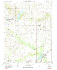
1963 Map of Galatia
USGS Topo · Published 1984About this map
The Middle Fork Saline River and Bankston Fork define the drainage of this Saline County landscape, which by the early 1960s was heavily shaped by resource extraction and local infrastructure. The Harrisburg Reservoir dominates the northern reaches, while the surrounding countryside is dotted with numerous Oil Wells, particularly in the central Oil Field near the Harrisburg-Raleigh Airport. This period shows a transition in rail transit, with the Illinois Central and N. Y. C. lines still active, though a segment near Muddy is marked as Abandoned. For the family historian, the map preserves the locations of several rural congregations and burial grounds, such as Bethel Creek Ch, Mt Pleasant Ch, and Masonic Cem. Settlement is concentrated in the small grid-patterned towns of Galatia and Raleigh, which serve as the primary hubs for this agricultural and industrial region.
Find a feature on this map
44 named features on this map. Tap any name to fly to it.
Don’t see what you’re looking for? This feature index may not catch every label — zoom into the map to look around manually.
Map Details
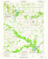
Editions of this 1963 Galatia Map
2 editions found
Other maps of this area

1905 · Eldorado
USGS Topo · 1:62,500

1906 · Eldorado
USGS Topo · 1:62,500

1908 · Galatia
USGS Topo · 1:62,500

1916 · Equality
USGS Topo · 1:62,500

1925 · Harrisburg
USGS Topo · 1:62,500

1938 · Galatia
USGS Topo · 1:62,500

1939 · Harrisburg
USGS Topo · 1:62,500

1949 · Paducah
USGS Topo · 1:250,000

1950 · Paducah
USGS Topo · 1:250,000

1954 · Paducah
USGS Topo · 1:250,000