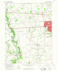
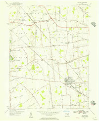
1966 Map of Galloway
USGS Topo · Published 1968About this map
Galloway and the surrounding townships of Prairie and Pleasant show a landscape in transition during the mid-1960s as the Columbus metropolitan area expanded westward. The map reveals a mix of rural infrastructure and emerging suburban density, particularly around the incorporated areas of New Rome and the residential clusters near Prairie-Norton Sch. Large agricultural holdings and family landmarks like Gundy Cem and Ebenezer Cem sit adjacent to modern developments, including the Columbus Airpark and the private Darby Dan Landing Strip near the meandering Darby Creek.
Find a feature on this map
85 named features on this map. Tap any name to fly to it.
Don’t see what you’re looking for? This feature index may not catch every label — zoom into the map to look around manually.
Map Details
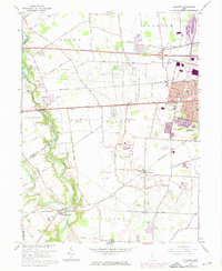
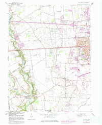
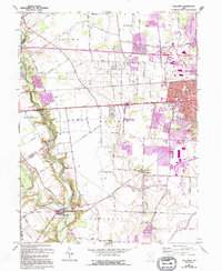
Editions of this 1966 Galloway Map
4 editions found
Other maps of this area

1901 · Dublin
USGS Topo · 1:62,500

1903 · Dublin
USGS Topo · 1:62,500

1907 · London
USGS Topo · 1:62,500

1916 · Milford Center
USGS Topo · 1:62,500

1923 · West Columbus
USGS Topo · 1:62,500

1925 · West Columbus
USGS Topo · 1:62,500

1944 · Milford Center
USGS Topo · 1:62,500

1947 · Columbus
USGS Topo · 1:250,000

1950 · Marion
USGS Topo · 1:250,000
1954 · Hilliard
USGS Topo · 1:24,000