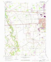
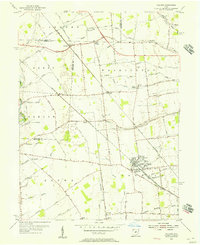
1966 Map of Galloway
USGS Topo · Published 1974About this map
Big Darby Creek and Little Darby Creek define the western reaches of this landscape, carving through the townships of Jefferson and Pleasant. By the mid-1960s, the rural character of western Franklin County was meeting the outward expansion of Columbus, visible in the burgeoning residential grids around New Rome and the Medical Center. This era captures a transition in local aviation and infrastructure, featuring the Columbus Airpark and Bolton Airport alongside the established Penn Central rail lines. Local life centers on community landmarks such as Stiles Sch and Alton-Hall Sch, while several historic burying grounds, including Alton Cem and Ebenezer Cem, offer key points of interest for genealogists tracking early families near the settlements of Alton and Galloway.
Find a feature on this map
58 named features on this map. Tap any name to fly to it.
Don’t see what you’re looking for? This feature index may not catch every label — zoom into the map to look around manually.
Map Details
Editions of this 1966 Galloway Map
4 editions found
Other maps of this area

1901 · Dublin
USGS Topo · 1:62,500

1903 · Dublin
USGS Topo · 1:62,500

1907 · London
USGS Topo · 1:62,500

1916 · Milford Center
USGS Topo · 1:62,500

1923 · West Columbus
USGS Topo · 1:62,500

1925 · West Columbus
USGS Topo · 1:62,500

1944 · Milford Center
USGS Topo · 1:62,500

1947 · Columbus
USGS Topo · 1:250,000

1950 · Marion
USGS Topo · 1:250,000
1954 · Hilliard
USGS Topo · 1:24,000