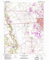
1966 Map of Galloway
USGS Topo · Published 1995About this map
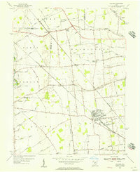
Little Darby Creek and Big Darby Creek converge in the southwest corner of this map, forming the natural centerpiece of the Battelle Darby Creek Metropolitan Park. This mid-century survey, revised with 1990s aerial photography, documents the post-war suburban expansion of Columbus as it moves westward into Prairie and Pleasant townships. The landscape is a mix of traditional agriculture, small settlements like Galloway and Georgesville, and specialized aviation infrastructure including Bolton Field Airport and the private Darby Dan Airstrip. Numerous local landmarks, such as Camp Ken-Jockety and the Oakhurst Country Club, sit alongside essential community hubs like Ebenezer Church and several rural burial grounds including Sunset Cemetery and Postle Cemetery. The historic National Road and the Conrail rail line bisect the quadrangle, serving as primary east-west corridors for the region's development.
Find a feature on this map
56 named features on this map. Tap any name to fly to it.
Don’t see what you’re looking for? This feature index may not catch every label — zoom into the map to look around manually.
Map Details
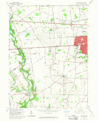
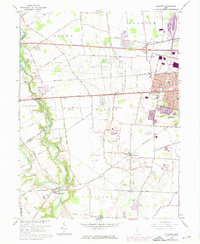
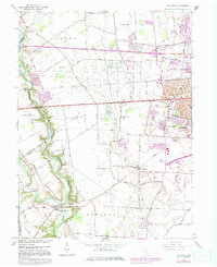
Editions of this 1966 Galloway Map
4 editions found
Other maps of this area

1901 · Dublin
USGS Topo · 1:62,500

1903 · Dublin
USGS Topo · 1:62,500

1907 · London
USGS Topo · 1:62,500

1916 · Milford Center
USGS Topo · 1:62,500

1923 · West Columbus
USGS Topo · 1:62,500

1925 · West Columbus
USGS Topo · 1:62,500

1944 · Milford Center
USGS Topo · 1:62,500

1947 · Columbus
USGS Topo · 1:250,000

1950 · Marion
USGS Topo · 1:250,000
1954 · Hilliard
USGS Topo · 1:24,000