Loading...
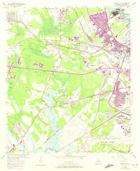
Loading map...1955 Map of Garden City
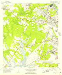
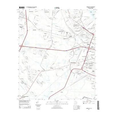
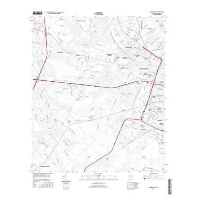
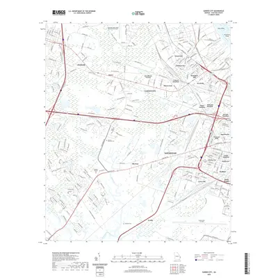
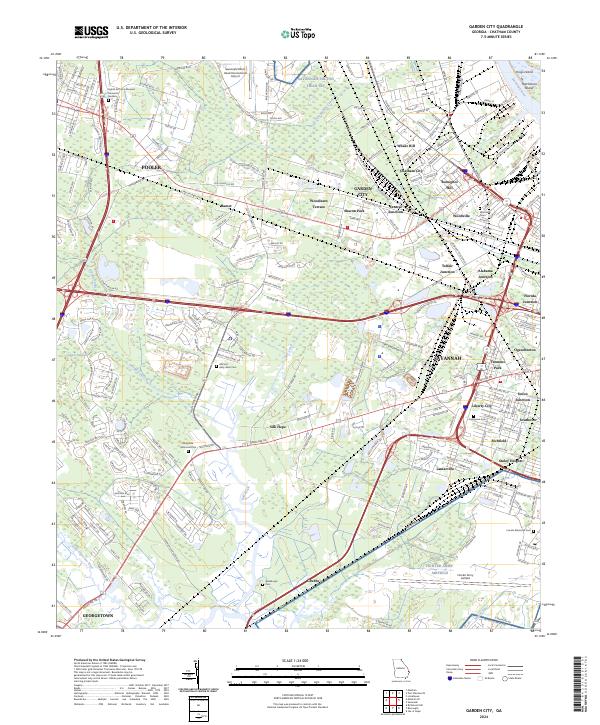
USGS Topo · Published 1973About this map
The industrial and transportation nexus of Savannah is captured here during a period of significant suburban expansion, marked by the purple-tinted urban extensions of the early 1970s. The landscape is defined by its massive logistics infrastructure, including the Savannah State Docks RR and a complex web of rail junctions like Telfair Junction and Union Junction. Aviation history is prominent, with the Savannah Municipal Airport—anchored by Travis Field—and the northern boundary of the Us Military Reservation at Hunter Army Airfield.
Find a feature on this map
68 named features on this map. Tap any name to fly to it.
Don’t see what you’re looking for? This feature index may not catch every label — zoom into the map to look around manually.
Map Details
Date Portrayed1955
Date Published1973
PublisherU.S. Geological Survey
Map TypeTopographic
Scale1:24,000
Physical Dimensions22 x 26.9 inches
Editions of this 1955 Garden City Map
2 editions found
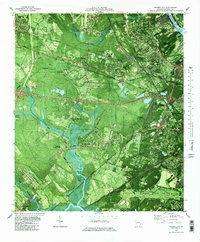
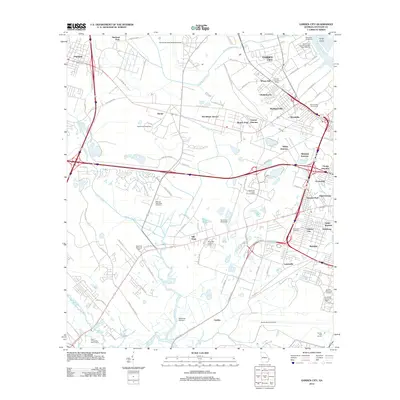
Historical Maps of Savannah Through Time
7 maps found
Featured Locations
Source Details
SourceU.S. Geological Survey
CopyrightPublic Domain