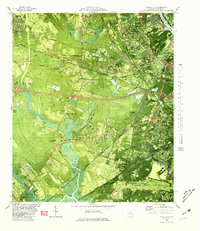
1980 Map of Garden City
USGS Topo · Published 1980About this map
Industrial expansion and transit networks define this landscape near the Savannah River during the mid-1970s. The map captures the heavy infrastructure surrounding Garden City, including the Garden City Terminal and the complex rail interchanges at Telfair Junction and Alabama Junction. Significant residential pockets such as Rossignol Hill, Woodlawn Terrace, and Silk Hope are shown alongside extensive industrial sites like the Industrial Waste Ponds and a Sandpit.
Find a feature on this map
77 named features on this map. Tap any name to fly to it.
Don’t see what you’re looking for? This feature index may not catch every label — zoom into the map to look around manually.
Map Details
Editions of this 1980 Garden City Map
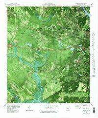
2 editions found
Other maps of this area

1920 · Meldrim
USGS Topo · 1:62,500

1920 · Limerick
USGS Topo · 1:62,500

1942 · Meldrim
USGS Topo · 1:62,500

1942 · Savannah
USGS Topo · 1:62,500

1944 · Limerick
USGS Topo · 1:62,500

1944 · Ossabaw Island
USGS Topo · 1:62,500

1945 · Ossabaw Island
USGS Topo · 1:62,500

1946 · Brunswick
USGS Topo · 1:250,000

1947 · Savannah
USGS Topo · 1:250,000

1948 · Brunswick
USGS Topo · 1:250,000