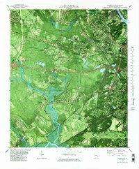
1980 Map of Garden City
USGS Topo · Published 1997About this map
Industrial expansion and rail infrastructure define the landscape around Garden City and the Savannah River during this era. Multiple rail lines, including the Seaboard Coast Line and Central of Georgia, converge at strategic points like Alabama Junction and Telfair Junction, facilitating the transit of goods through complex industrial zones such as the Industrial Waste Pond. This orthophotomap provides a clear view of the suburban growth expanding from Savannah into neighboring communities like Wheat Hill, Chatham City, and Woodville.
Find a feature on this map
67 named features on this map. Tap any name to fly to it.
Don’t see what you’re looking for? This feature index may not catch every label — zoom into the map to look around manually.
Map Details
Editions of this 1980 Garden City Map
2 editions found
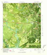
Other maps of this area

1920 · Meldrim
USGS Topo · 1:62,500

1920 · Limerick
USGS Topo · 1:62,500

1942 · Meldrim
USGS Topo · 1:62,500

1942 · Savannah
USGS Topo · 1:62,500

1944 · Limerick
USGS Topo · 1:62,500

1944 · Ossabaw Island
USGS Topo · 1:62,500

1945 · Ossabaw Island
USGS Topo · 1:62,500

1946 · Brunswick
USGS Topo · 1:250,000

1947 · Savannah
USGS Topo · 1:250,000

1948 · Brunswick
USGS Topo · 1:250,000