
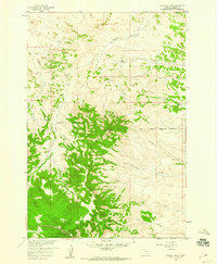
1958 Map of Garfield Peak
USGS Topo · Published 1960About this map
The high vantage point of Vabm Garfield 4316 Peak dominates this landscape in Rosebud County, where the plains give way to a network of deeply incised drainage systems. In the late 1950s, the land was defined by the Northern Cheyenne Indian Reservation and the Old Indian Reservation Boundary, illustrating the shifting administrative lines of southeastern Montana. The mapping reveals a ranching and early energy landscape, noting the Wood Place and several scattered Oil Wells among the coulees.
Find a feature on this map
23 named features on this map. Tap any name to fly to it.
Don’t see what you’re looking for? This feature index may not catch every label — zoom into the map to look around manually.
Map Details
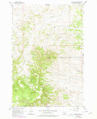
Editions of this 1958 Garfield Peak Map
3 editions found
Other maps of this area

1954 · Hardin
USGS Topo · 1:250,000

1957 · Hardin
USGS Topo · 1:250,000

1958 · Hardin
USGS Topo · 1:250,000

1958 · Fisher Butte
USGS Topo · 1:24,000

1958 · Badger Peak
USGS Topo · 1:24,000

1958 · Hollowwood Creek
USGS Topo · 1:24,000

1966 · Ashland
USGS Topo · 1:24,000

1966 · Ashland NE
USGS Topo · 1:24,000

1971 · Colstrip SE
USGS Topo · 1:24,000

1971 · Hammond Draw
USGS Topo · 1:24,000