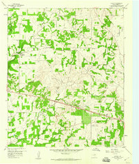
1959 Map of Garner
USGS Topo · Published 1960About this map
Garner and the surrounding rural landscape of Parker County are defined by a network of creek branches and two significant rail lines during the late 1950s. The Weatherford Mineral Wells and Northwestern railroad cuts through the northern half of the area, passing near the New Hope Ch, while the Texas and Pacific line runs to the south through Fox and near Preble. This period shows a transition in land use, from the expansive Camp Wolters Military Reservation Bdy in the northwest to early industrial traces like a Gravel Pit and Gas Well.
Find a feature on this map
31 named features on this map. Tap any name to fly to it.
Don’t see what you’re looking for? This feature index may not catch every label — zoom into the map to look around manually.
Map Details
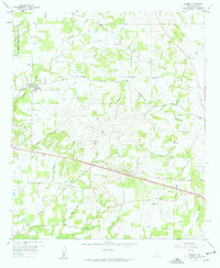
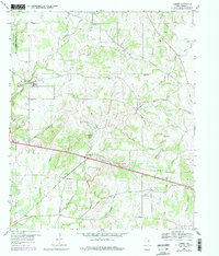
Editions of this 1959 Garner Map
Other maps of this area

1891 · Weatherford
USGS Topo · 1:125,000

1891 · Palo Pinto
USGS Topo · 1:125,000

1893 · Weatherford
USGS Topo · 1:125,000

1918 · Palo Pinto
USGS Topo · 1:125,000

1927 · Mineral Wells
USGS Topo · 1:62,500

1931 · Dennis
USGS Topo · 1:62,500

1931 · Santo
USGS Topo · 1:62,500

1954 · Dallas
USGS Topo · 1:250,000

1954 · Abilene
USGS Topo · 1:250,000

1958 · Dallas
USGS Topo · 1:250,000