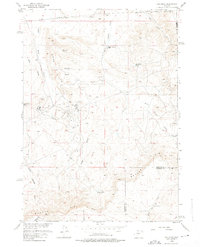
1958 Map of Gas Hills
USGS Topo · Published 1975About this map
Lucky Mac Uranium Mill stands as the industrial centerpiece of this Wyoming landscape during the late 1950s uranium boom. This survey documents the specialized infrastructure required for extractive industry, featuring the Tailings Pond, several Mines, and scattered Mine Dump sites. Worker life is evidenced by the Lucky Mac Camp and an adjacent Trailer Park, providing a rare look at the temporary residential patterns associated with mid-century mineral rushes.
Find a feature on this map
27 named features on this map. Tap any name to fly to it.
Don’t see what you’re looking for? This feature index may not catch every label — zoom into the map to look around manually.
Map Details
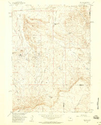
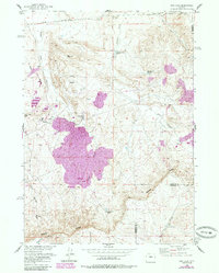
Editions of this 1958 Gas Hills Map
3 editions found
Other maps of this area

1952 · Ervay Basin SW
USGS Topo · 1:24,000

1952 · Love Ranch
USGS Topo · 1:24,000

1952 · Gas Hills
USGS Topo · 1:24,000

1952 · Puddle Springs
USGS Topo · 1:24,000

1952 · Miles Ranch
USGS Topo · 1:24,000

1952 · Coyote Springs
USGS Topo · 1:24,000

1952 · Ervay Basin
USGS Topo · 1:24,000

1952 · Mc Intosh Meadows
USGS Topo · 1:24,000

1955 · Casper
USGS Topo · 1:250,000

1957 · Miles Ranch
USGS Topo · 1:24,000