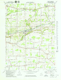
1979 Map of Gasport
USGS Topo · Published 1979About this map
The Erie Canal forms the industrial and geographic spine of this Niagara County landscape, passing through the hamlets of Orangeport and Gasport. At this time in the late 1970s, the canal is closely shadowed by the Conrail railroad line, illustrating the historical transition of freight transport in western New York. The surrounding townships of Hartland and Royalton maintain a largely rural character, defined by a grid of local roads named for prominent families and landmarks, such as Checkered Tavern Road and Slayton Settlement Road.
Find a feature on this map
68 named features on this map. Tap any name to fly to it.
Don’t see what you’re looking for? This feature index may not catch every label — zoom into the map to look around manually.
Map Details
Editions of this 1979 Gasport Map
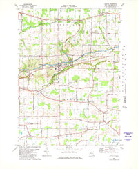
2 editions found
Other maps of this area

1897 · Olcott
USGS Topo · 1:62,500

1897 · Medina
USGS Topo · 1:62,500

1897 · Lockport
USGS Topo · 1:62,500

1897 · Ridgeway
USGS Topo · 1:62,500

1899 · Niagara
USGS Topo · 1:125,000

1902 · Lockport
USGS Topo · 1:62,500

1905 · Lockport
USGS Topo · 1:62,500

1948 · Lockport
USGS Topo · 1:62,500

1948 · Olcott
USGS Topo · 1:62,500
1949 · Barker
USGS Topo · 1:24,000