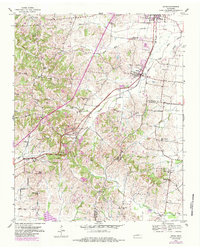
1952 Map of Gates
USGS Topo · Published 1984About this map
The Illinois Central corridor anchor the agricultural and social landscape of West Tennessee in the early 1950s. Centered on the towns of Halls and Gates, this survey captures a network of small, rural communities connected by the Gulf Central rail line and a dense system of country roads. The topography is defined by the winding paths of Sumrow Creek, Beech Bluff Creek, and Lost Creek, which drain the low-lying terrain across the Lauderdale Co Haywood Co line. Local heritage is concentrated in numerous rural landmarks, including Woodville Sch, Mount Pleasant Sch, and family-named cemeteries such as Dunavant Cem and Anderson Cem. The presence of scattered settlements like Nankipoo, Thurmond, and Flippin illustrates the decentralized settlement pattern characteristic of this era before larger regional consolidation.
Find a feature on this map
40 named features on this map. Tap any name to fly to it.
Don’t see what you’re looking for? This feature index may not catch every label — zoom into the map to look around manually.
Map Details
Editions of this 1952 Gates Map
3 editions found
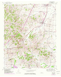
Other maps of this area

1939 · Hales Point
USGS Topo · 1:62,500

1939 · Halls
USGS Topo · 1:62,500

1952 · Hales Point
USGS Topo · 1:62,500

1952 · Gates
USGS Topo · 1:24,000

1952 · Bonicord
USGS Topo · 1:24,000

1952 · Chestnut Bluff
USGS Topo · 1:24,000

1952 · Fowlkes
USGS Topo · 1:24,000

1956 · Blytheville
USGS Topo · 1:250,000

1959 · Blytheville
USGS Topo · 1:250,000

1961 · Hales Point
USGS Topo · 1:62,500