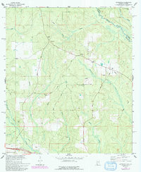
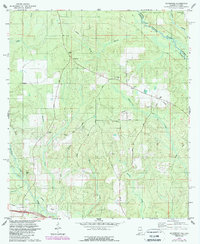
1978 Map of Gateswood
USGS Topo · Published 1993About this map
The Styx River and Perdido River drainage systems define this landscape along the Alabama-Florida border. As of the mid-1970s and 1980s, the area around Gateswood reflects a rural economy transitioning from timber to localized extraction, evidenced by an Old Railroad Grade and several modern pipelines. The presence of an Oil Well and multiple claypits suggests a shift toward industrial resource tapping in Baldwin County.
Find a feature on this map
30 named features on this map. Tap any name to fly to it.
Don’t see what you’re looking for? This feature index may not catch every label — zoom into the map to look around manually.
Map Details
Editions of this 1978 Gateswood Map
5 editions found
Other maps of this area

1920 · Robertsdale
USGS Topo · 1:62,500

1921 · Muscogee
USGS Topo · 1:62,500

1941 · Muscogee
USGS Topo · 1:62,500

1941 · Robertsdale
USGS Topo · 1:62,500

1941 · Century
USGS Topo · 1:62,500

1942 · Dyas
USGS Topo · 1:62,500

1943 · Robertsdale
USGS Topo · 1:62,500

1943 · Muscogee
USGS Topo · 1:62,500

1943 · Century
USGS Topo · 1:62,500
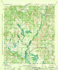
1944 · Muscogee
USGS Topo · 1:25,000