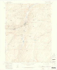
1957 Map of Georgetown
USGS Topo · Published 1959About this map
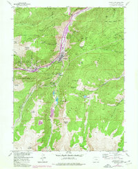
Georgetown and Silver Plume anchor this 1957 survey of Colorado's high mountain terrain, where the legacies of the silver boom remain etched into every gulch and ridge. The intricate path of the Georgetown Loop and the winding Old Railroad Grade illustrate the complex engineering required to navigate the steep ascent between the towns. The landscape is heavily dotted with mining infrastructure, from the Lebanon Tunnel and Burleigh Tunnel to individual operations like the Anglo Saxon Mine and Seven-Thirty Mine. Beyond the industrial centers, the map documents significant landmarks such as the Griffin Monument (Grave) and Alvarado Cem. The high country surrounding Clear Creek includes peaks such as Democrat Mtn and Republican Mountain, while recreational sites like the Clear Lake Campground indicate the mid-century shift toward mountain tourism within the Arapaho National Forest.
Find a feature on this map
78 named features on this map. Tap any name to fly to it.
Don’t see what you’re looking for? This feature index may not catch every label — zoom into the map to look around manually.
Map Details
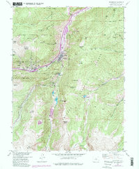
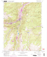
Editions of this 1957 Georgetown Map
7 editions found
Other maps of this area

1903 · Georgetown
USGS Topo · 1:62,500

1905 · Central City
USGS Topo · 1:62,500

1905 · Georgetown
USGS Topo · 1:62,500

1910 · Central City
USGS Topo · 1:62,500

1912 · Central City
USGS Topo · 1:62,500

1924 · Montezuma
USGS Topo · 1:62,500

1924 · Fraser
USGS Topo · 1:62,500

1926 · Fraser
USGS Topo · 1:62,500

1926 · Montezuma
USGS Topo · 1:62,500

1933 · Montezuma
USGS Topo · 1:62,500