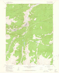
1957 Map of Georgetown
USGS Topo · Published 1962About this map
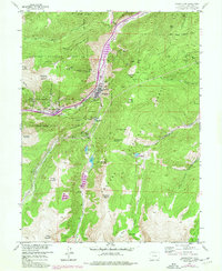
The silver-mining legacy of Clear Creek County is intensely documented in this mid-century study of the high-altitude terrain surrounding Georgetown and Silver Plume. The landscape is a dense network of nineteenth-century industrial footprints, from the Seven Thirty Mine and Dunderberg Mine to the numerous portals of the Edgar Tunnel and Lebanon Tunnel. The town of Silverdale is noted as abandoned, while the steep mountain slopes are scored by an Old Railroad Grade and various jeep trails serving the remnant shafts. Local history is anchored by specific landmarks such as the Wheeler Astronomical Monument 1873 and the Griffin Monument, which sit high above the valley floor. Water management for the mining operations and growing settlements is evident through the Georgetown Reservoir and the Aqueduct winding south toward Green Lake.
Find a feature on this map
92 named features on this map. Tap any name to fly to it.
Don’t see what you’re looking for? This feature index may not catch every label — zoom into the map to look around manually.
Map Details
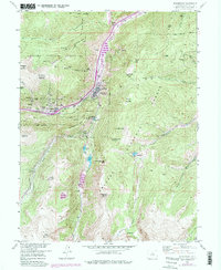
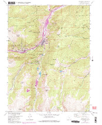
Editions of this 1957 Georgetown Map
7 editions found
Other maps of this area

1903 · Georgetown
USGS Topo · 1:62,500

1905 · Central City
USGS Topo · 1:62,500

1905 · Georgetown
USGS Topo · 1:62,500

1910 · Central City
USGS Topo · 1:62,500

1912 · Central City
USGS Topo · 1:62,500

1924 · Montezuma
USGS Topo · 1:62,500

1924 · Fraser
USGS Topo · 1:62,500

1926 · Fraser
USGS Topo · 1:62,500

1926 · Montezuma
USGS Topo · 1:62,500

1933 · Montezuma
USGS Topo · 1:62,500