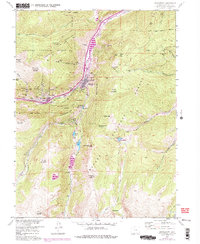
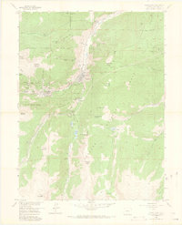
1957 Map of Georgetown
USGS Topo · Published 1976About this map
Georgetown and Silver Plume anchor this 1957 survey, illustrating a landscape defined by the deep footprints of the Colorado Silver Boom. The steep valley walls of the Arapaho National Forest are honeycombed with workings such as the Edgar Tunnel, the Terrible Mine, and the Seven Thirty Mine. The presence of an Old Railroad Grade and the Astronomic Monument speaks to the town's early importance as a cultural and industrial hub.
Find a feature on this map
83 named features on this map. Tap any name to fly to it.
Don’t see what you’re looking for? This feature index may not catch every label — zoom into the map to look around manually.
Map Details
Editions of this 1957 Georgetown Map
7 editions found
Other maps of this area

1903 · Georgetown
USGS Topo · 1:62,500

1905 · Central City
USGS Topo · 1:62,500

1905 · Georgetown
USGS Topo · 1:62,500

1910 · Central City
USGS Topo · 1:62,500

1912 · Central City
USGS Topo · 1:62,500

1924 · Montezuma
USGS Topo · 1:62,500

1924 · Fraser
USGS Topo · 1:62,500

1926 · Fraser
USGS Topo · 1:62,500

1926 · Montezuma
USGS Topo · 1:62,500

1933 · Montezuma
USGS Topo · 1:62,500