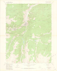
1957 Map of Georgetown
USGS Topo · Published 1969About this map
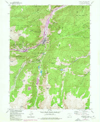
The mining camps of Georgetown and Silver Plume anchor this 1957 survey, illustrating a landscape deeply marked by nineteenth-century silver extraction. The canyon floor is a complex network of industrial heritage, featuring the Old Railroad Grade and the engineering of the Georgetown Loop. The surrounding peaks are densely peppered with adits and shafts, from the Seven Thirty Mine high on the northern slopes to the Mendota Mine and Terrible Mine near the valley bottom.
Find a feature on this map
84 named features on this map. Tap any name to fly to it.
Don’t see what you’re looking for? This feature index may not catch every label — zoom into the map to look around manually.
Map Details
Editions of this 1957 Georgetown Map
7 editions found
Other maps of this area

1903 · Georgetown
USGS Topo · 1:62,500

1905 · Central City
USGS Topo · 1:62,500

1905 · Georgetown
USGS Topo · 1:62,500

1910 · Central City
USGS Topo · 1:62,500

1912 · Central City
USGS Topo · 1:62,500

1924 · Montezuma
USGS Topo · 1:62,500

1924 · Fraser
USGS Topo · 1:62,500

1926 · Fraser
USGS Topo · 1:62,500

1926 · Montezuma
USGS Topo · 1:62,500

1933 · Montezuma
USGS Topo · 1:62,500