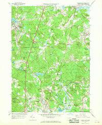
1966 Map of Georgetown
USGS Topo · Published 1968About this map
Georgetown and the surrounding Essex County landscape appear at a mid-century crossroads, where the modern Newburyport Turnpike and Interstate 95 cut through a territory still deeply shaped by colonial-era geography. The region is defined by a dense network of water bodies and conservation lands, including the Georgetown Rowley State Forest and Willowdale State Forest. Educational and religious institutions are prominent landmarks, such as the Governor Dummer Academy and the Maryknoll Sisters Novitiate.
Find a feature on this map
89 named features on this map. Tap any name to fly to it.
Don’t see what you’re looking for? This feature index may not catch every label — zoom into the map to look around manually.
Map Details
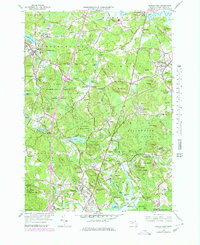
Editions of this 1966 Georgetown Map
2 editions found
Other maps of this area

1886 · Lawrence
USGS Topo · 1:62,500

1888 · Newburyport
USGS Topo · 1:62,500

1888 · Haverhill
USGS Topo · 1:62,500

1888 · Lawrence
USGS Topo · 1:62,500

1888 · Salem
USGS Topo · 1:62,500

1890 · Haverhill
USGS Topo · 1:62,500

1890 · Newburyport
USGS Topo · 1:62,500

1893 · Salem
USGS Topo · 1:62,500

1893 · Lawrence
USGS Topo · 1:62,500

1893 · Haverhill
USGS Topo · 1:62,500