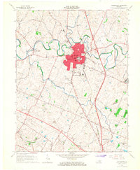
1965 Map of Georgetown
USGS Topo · Published 1966About this map
Georgetown sits at the heart of the Kentucky Bluegrass region in the mid-1960s, defined by its historic educational institutions and the winding course of North Elkhorn Creek. The map documents the prominent campus of Georgetown College and the nearby Cardome Academy, reflecting the town's long-standing role as a center for learning. Beyond the urban core, the landscape transitions into traditional farmland and agricultural research, notably at the University of Kentucky Agricultural Experimental Station along the southern border. Smaller outlying communities like Great Crossing and Paynes Depot are linked by a network of thoroughfares including Ironworks Road and the Louisville and Nashville Railroad, illustrating the transport patterns that sustained this area's equine and agrarian economy before significant suburban expansion. Rural life is further evidenced by several country houses of worship, such as Bethel Ch and Cane Run Ch.
Find a feature on this map
39 named features on this map. Tap any name to fly to it.
Don’t see what you’re looking for? This feature index may not catch every label — zoom into the map to look around manually.
Map Details
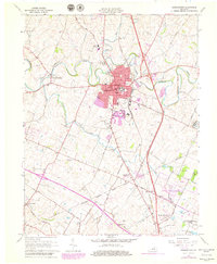
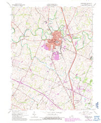
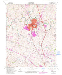
Editions of this 1965 Georgetown Map
4 editions found
Other maps of this area

1906 · Georgetown
USGS Topo · 1:62,500

1908 · Georgetown
USGS Topo · 1:62,500

1927 · Lexington
USGS Topo · 1:48,000

1929 · Cynthiana
USGS Topo · 1:48,000

1929 · Lexington
USGS Topo · 1:62,500

1934 · Cynthiana
USGS Topo · 1:62,500

1939 · Sadieville
USGS Topo · 1:62,500

1950 · Lexington East
USGS Topo · 1:24,000

1950 · Lexington West
USGS Topo · 1:24,000

1952 · Midway
USGS Topo · 1:24,000