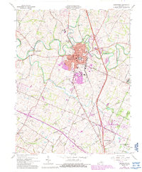
1965 Map of Georgetown
USGS Topo · Published 1988About this map
The confluence of North Elkhorn Creek and the Southern railroad line anchors Georgetown during a period of significant growth and suburbanization. This mid-1960s survey, updated with 1980s data, illustrates the city expanding toward Indian Hills and south toward the Fayette County line. Educational and religious institutions are prominent, including Georgetown College, Cardome Academy, and Bethel Ch.
Find a feature on this map
43 named features on this map. Tap any name to fly to it.
Don’t see what you’re looking for? This feature index may not catch every label — zoom into the map to look around manually.
Map Details
Editions of this 1965 Georgetown Map
4 editions found
Other maps of this area

1906 · Georgetown
USGS Topo · 1:62,500

1908 · Georgetown
USGS Topo · 1:62,500

1927 · Lexington
USGS Topo · 1:48,000

1929 · Cynthiana
USGS Topo · 1:48,000

1929 · Lexington
USGS Topo · 1:62,500

1934 · Cynthiana
USGS Topo · 1:62,500

1939 · Sadieville
USGS Topo · 1:62,500

1950 · Lexington East
USGS Topo · 1:24,000

1950 · Lexington West
USGS Topo · 1:24,000

1952 · Midway
USGS Topo · 1:24,000