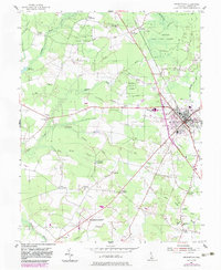
1954 Map of Georgetown
USGS Topo · Published 1983About this map
Georgetown sits at the heart of this coastal plain landscape, serving as a hub for both the Conrail line and the prominent Dupont Highway. The map captures a mid-century period of transition where agriculture and institutional use intersect, notably at the University of Delaware Experiment Station and the Alms House. Surrounding the town, the terrain is defined by a dense network of drainage projects such as Mifflin Ditch and Gravelly Ditch, which supported the timber and farming economy of Sussex County.
Find a feature on this map
53 named features on this map. Tap any name to fly to it.
Don’t see what you’re looking for? This feature index may not catch every label — zoom into the map to look around manually.
Map Details
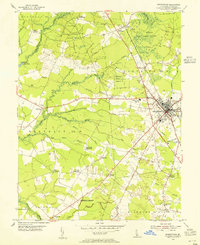
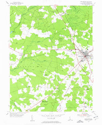
Editions of this 1954 Georgetown Map
3 editions found
Other maps of this area

1915 · Seaford
USGS Topo · 1:62,500

1917 · Millsboro
USGS Topo · 1:62,500

1918 · Cedar Creek
USGS Topo · 1:62,500

1918 · Harrington
USGS Topo · 1:62,500

1919 · Cedar Creek
USGS Topo · 1:62,500

1938 · Cedar Creek
USGS Topo · 1:62,500

1938 · Millsboro
USGS Topo · 1:62,500
1944 · Milton
USGS Topo · 1:24,000

1944 · Cedar Creek
USGS Topo · 1:62,500

1944 · Millsboro
USGS Topo · 1:62,500