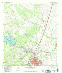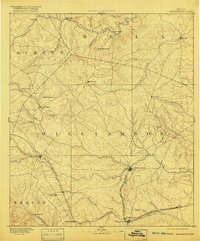
1893 Map of Georgetown
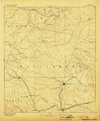
USGS Topo · Published 1916About this map
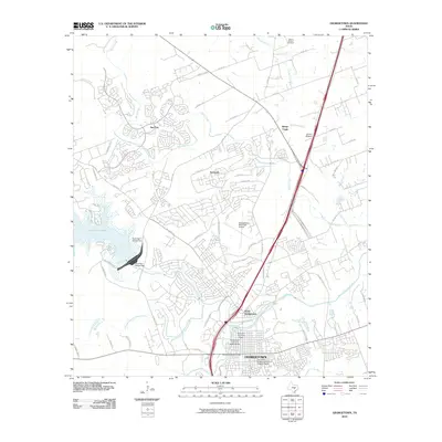
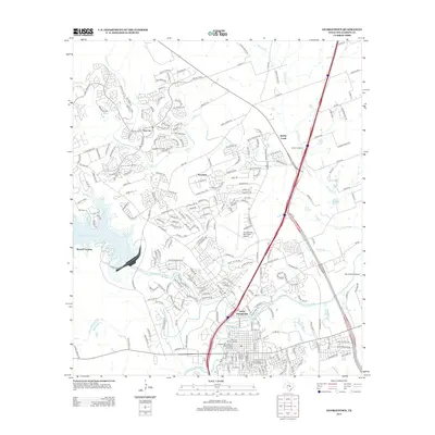
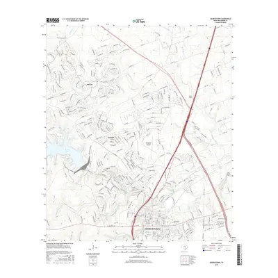
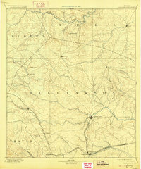
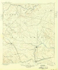
The Georgetown area of Central Texas appears here at the height of its railroad-era development, centered on the convergence of the North Fork San Gabriel River and the South Fork. Two major rail lines dominate the landscape: the Austin and Northwestern Railroad connecting Liberty Hill and Leander, and the International and Great Northern Railroad passing through the regional hub. A distinctive feature of this survey is the dual representation of Old Round Rock and Round Rock, capturing the literal shift of the town toward the newer rail corridor. Beyond the larger hubs, the map traces early rural settlements like Corn Hill, Gabriel Mills, and the curiously named Nameless. The terrain transition is marked by landmarks such as Hog Mountain and Pilot Knob, which overlook the complex drainage of Salado Creek and Berry Creek.
Find a feature on this map
47 named features on this map. Tap any name to fly to it.
Don’t see what you’re looking for? This feature index may not catch every label — zoom into the map to look around manually.
Map Details
Editions of this 1893 Georgetown Map
5 editions found

Historical Maps of Austin Through Time
7 maps found