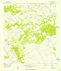
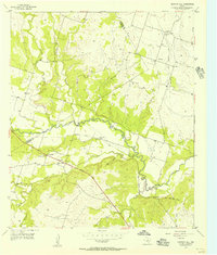
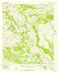
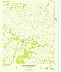
1956 Map of German Valley
USGS Topo · Published 1957This historical map portrays the area of German Valley in 1956, primarily covering Hamilton County as well as portions of Coryell County and Bosque County. Featuring a scale of 1:24000, this map provides a highly detailed snapshot of the terrain, roads, buildings, counties, and historical landmarks in the German Valley region at the time. Published in 1957, it is the sole known edition of this map.
Find a feature on this map
20 named features on this map. Tap any name to fly to it.
Don’t see what you’re looking for? This feature index may not catch every label — zoom into the map to look around manually.
Map Details
Editions of this 1956 German Valley Map
This is the sole edition of this map. No revisions or reprints were ever made.
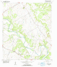
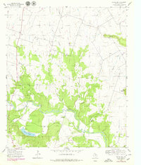
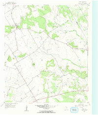
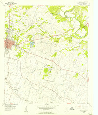
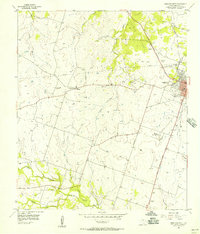
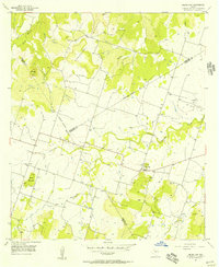
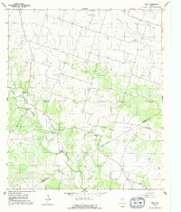
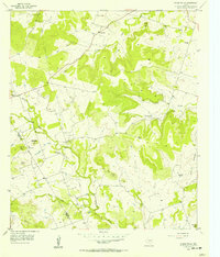
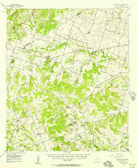
Historical Maps of Hamilton County Through Time
14 maps found
1956 Cutoff Mtn
Hamilton County, TX
1956 Eidson Lake
Hamilton County, TX
1956 Fairy
Hamilton County, TX
1956 Gentrys Mill
Hamilton County, TX
1956 German Valley
Hamilton County, TX
1956 Hamilton East
Hamilton County, TX
1956 Hamilton West
Hamilton County, TX
1956 Indian Gap
Hamilton County, TX
1956 Jonesboro
Hamilton County, TX
1956 Ohio
Hamilton County, TX
1956 Pecan Wells
Hamilton County, TX
1956 Pottsville
Hamilton County, TX
1956 Pottsville
Hamilton County, TX
1956 Shive
Hamilton County, TX