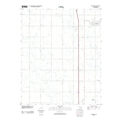
2009 Map of Geronimo
USGS Topo · Published 2009About this map
Geronimo anchors the northeastern corner of this landscape, where the town's residential street grid meets the expansive section-line road system of southern Oklahoma. The terrain is defined by the winding paths of West Cache Creek, which meanders through the southwestern reaches, and its tributaries Pecan Creek and Snake Creek. These waterways create a natural drainage pattern across the agricultural parcels, punctuated by the Okrioname 031060 Dam. For those tracing local history or family roots, the New Salem Cemetery provides a specific point of reference in the southeastern quadrant. The map detail reflects the transition from town limits to the rural expanses of Cotton County, illustrating the persistence of the rectangular survey system and the importance of creek-side topography in an otherwise highly organized grid of roads like Co Rd E 1780 and N 2550 Rd.
Find a feature on this map
26 named features on this map. Tap any name to fly to it.
Don’t see what you’re looking for? This feature index may not catch every label — zoom into the map to look around manually.
Map Details
Editions of this 2009 Geronimo Map
This is the sole edition of this map. No revisions or reprints were ever made.
Other maps of this area

1937 · Cache
USGS Topo · 1:48,000

1942 · Cache
USGS Topo · 1:62,500

1946 · Lawton
USGS Topo · 1:62,500

1955 · Lawton
USGS Topo · 1:250,000

1956 · Ninemile Creek
USGS Topo · 1:24,000
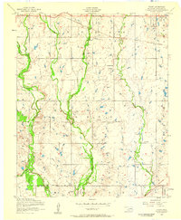
1956 · Taupa
USGS Topo · 1:24,000

1956 · Lawton
USGS Topo · 1:24,000
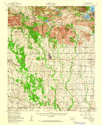
1956 · Cache
USGS Topo · 1:62,500

1956 · Lawton
USGS Topo · 1:62,500

1962 · Chattanooga
USGS Topo · 1:62,500