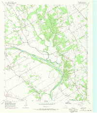
1957 Map of Gholson
USGS Topo · Published 1971About this map
The Brazos River winds through this central Texas landscape, defining a region where agricultural land meets the wooded breaks of several major tributaries. In the mid-20th century, the community of Gholson served as a local hub, supported by the Gholson Sch and Gholson Cem. The survey reveals a high density of rural religious and burial sites, including Wesley Chapel, Zion Hill Ch, and the Chalk Bluff Ch, suggesting a deeply rooted community structure along the river valley.
Find a feature on this map
32 named features on this map. Tap any name to fly to it.
Don’t see what you’re looking for? This feature index may not catch every label — zoom into the map to look around manually.
Map Details
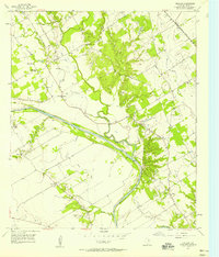
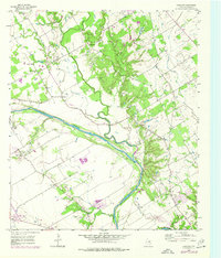
Editions of this 1957 Gholson Map
Other maps of this area

1892 · Waco
USGS Topo · 1:125,000

1920 · Waco
USGS Topo · 1:125,000

1924 · Waco 4-c
USGS Topo · 1:48,000

1924 · Waco 3-d
USGS Topo · 1:48,000

1931 · Whitney
USGS Topo · 1:62,500

1931 · Valley Mills
USGS Topo · 1:62,500

1931 · Elm Mott
USGS Topo · 1:62,500

1954 · Waco
USGS Topo · 1:250,000

1955 · Waco
USGS Topo · 1:250,000

1956 · West
USGS Topo · 1:24,000