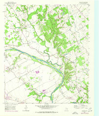
1957 Map of Gholson
USGS Topo · Published 1977About this map
The Brazos River carves through this central Texas landscape, creating a meandering boundary for rural settlements and farmsteads in the mid-20th century. At the heart of the area, Gholson is documented with its central Gholson Sch and nearby Gholson Cem, serving as a local hub for the surrounding countryside. The map reveals a dense network of country churches and family-named cemeteries, such as Wesley Chapel, Zion Hill Ch, and the Crump Cem, which reflect the established social and genealogical fabric of McLennan County.
Find a feature on this map
27 named features on this map. Tap any name to fly to it.
Don’t see what you’re looking for? This feature index may not catch every label — zoom into the map to look around manually.
Map Details
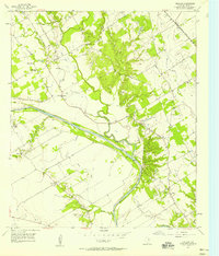
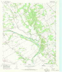
Editions of this 1957 Gholson Map
Other maps of this area

1892 · Waco
USGS Topo · 1:125,000

1920 · Waco
USGS Topo · 1:125,000

1924 · Waco 4-c
USGS Topo · 1:48,000

1924 · Waco 3-d
USGS Topo · 1:48,000

1931 · Whitney
USGS Topo · 1:62,500

1931 · Valley Mills
USGS Topo · 1:62,500

1931 · Elm Mott
USGS Topo · 1:62,500

1954 · Waco
USGS Topo · 1:250,000

1955 · Waco
USGS Topo · 1:250,000

1956 · West
USGS Topo · 1:24,000