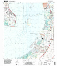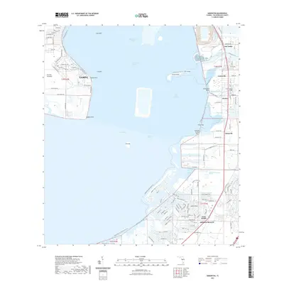
1956 Map of Gibsonton
USGS Topo · Published 1971About this map
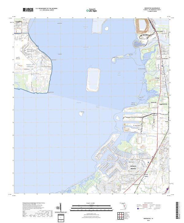
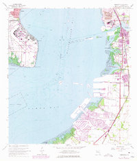
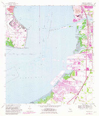
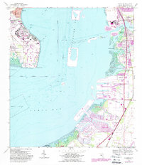
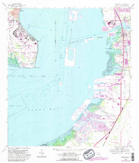
The eastern shore of Hillsborough Bay and the tip of the Interbay Peninsula define this coastal landscape at the start of the 1970s. Dominating the western edge is Mac Dill Air Force Base, where runways and facilities at Gadsden Point and Catfish Point look out over the Quarantine Anchorage. Across the water, the eastern shoreline reveals a network of coastal settlements and maritime industry. Along the Seaboard Coast Line railroad, the communities of Gibsonton, Gardenville, and North Ruskin are interspersed with numerous Fish Hatchery sites, suggesting a specialized local economy. The mapping also captures natural features like the winding Alafia River, Bullfrog Creek, and tidal areas such as The Kitchen and Hog and Hominy Cove. Residential growth is evident in the purple photorevised updates near North Ruskin, where new canal developments and street grids have begun to alter the traditional drainage of the Newman Branch.
Find a feature on this map
40 named features on this map. Tap any name to fly to it.
Don’t see what you’re looking for? This feature index may not catch every label — zoom into the map to look around manually.
Map Details
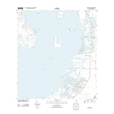
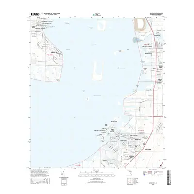
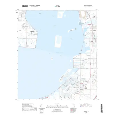
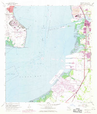
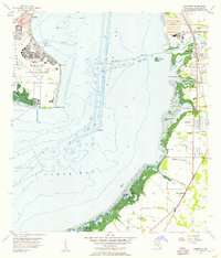
Editions of this 1956 Gibsonton Map
6 editions found
Historical Maps of Tampa Through Time
7 maps found