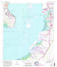
1956 Map of Gibsonton
USGS Topo · Published 1988About this map
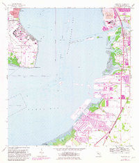
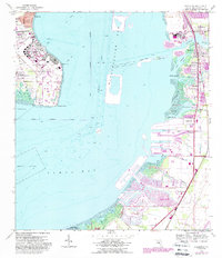
Mac Dill Air Force Base dominates the eastern tip of the Interbay Peninsula, framing the western entrance to the shipping channels of Hillsborough Bay. Across the water, the eastern shoreline shows the industrial and residential development of the mid-1950s, later updated in the 1980s. The Alafia River serves as a focal point for settlement, with Gibsonton and Gardenville established along its banks near the Seaboard Coast Line rail corridor.
Find a feature on this map
41 named features on this map. Tap any name to fly to it.
Don’t see what you’re looking for? This feature index may not catch every label — zoom into the map to look around manually.
Map Details
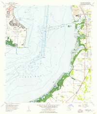
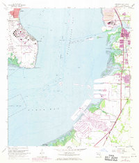
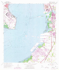
Editions of this 1956 Gibsonton Map
6 editions found
Other maps of this area

1921 · Tampa
USGS Topo · 1:62,500

1921 · Fort De Soto
USGS Topo · 1:62,500

1921 · St Petersburg
USGS Topo · 1:62,500

1942 · Cockroach Bay
USGS Topo · 1:31,680

1943 · Gandy Bridge
USGS Topo · 1:31,680

1943 · Port Tampa
USGS Topo · 1:31,680

1944 · Mango
USGS Topo · 1:31,680

1944 · Ruskin
USGS Topo · 1:31,680

1944 · Tampa
USGS Topo · 1:31,680

1944 · Wimauma
USGS Topo · 1:31,680