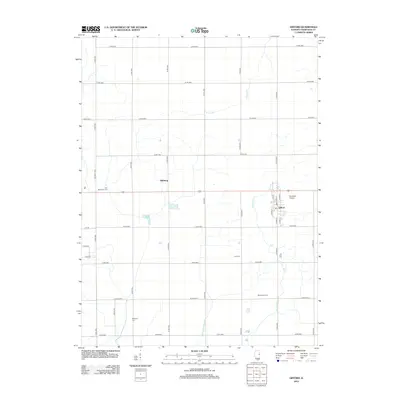
2012 Map of Gifford
USGS Topo · Published 2012About this map
Gifford and the surrounding agricultural landscape of Champaign County are meticulously documented in this 2012 survey. The town center is detailed with its local street grid, including N Main St and S Park St, while the outskirts are marked by small-scale aviation at Busboom Airport. For genealogists, the map is particularly useful for locating burial grounds throughout the rural townships, such as Holy Sepulchre Cem to the west and Beckman Cem in the south. The drainage patterns that support this productive Illinois farmland are clearly visible, defined by the winding course of the Spoon River, the smaller Prairie Cr, and the straight, engineered path of the Flatville Drainage Ditch. Scattered rural sites like Dillsburg and the Mennenga Farm anchor the landscape between the section-line roads of the county highway system.
Find a feature on this map
39 named features on this map. Tap any name to fly to it.
Don’t see what you’re looking for? This feature index may not catch every label — zoom into the map to look around manually.
Map Details
Editions of this 2012 Gifford Map
This is the sole edition of this map. No revisions or reprints were ever made.
Other maps of this area

1906 · Urbana
USGS Topo · 1:62,500

1924 · Paxton
USGS Topo · 1:62,500

1927 · Paxton
USGS Topo · 1:62,500

1931 · Fithian
USGS Topo · 1:48,000

1936 · Potomac
USGS Topo · 1:62,500

1943 · Fithian
USGS Topo · 1:62,500

1949 · Paxton
USGS Topo · 1:62,500

1953 · Danville
USGS Topo · 1:250,000

1955 · Danville
USGS Topo · 1:250,000

1956 · Danville
USGS Topo · 1:250,000