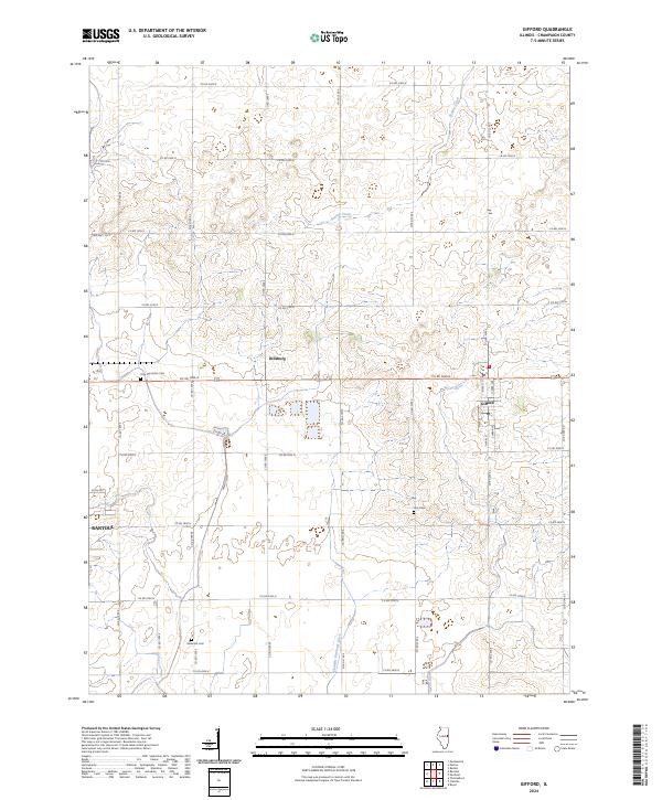
2024 Map of Gifford
USGS Topo · Published 2024About this map
The agricultural landscape of northeastern Champaign County is defined by its rectilinear road grid and the winding course of the Spoon River. Near the intersection of Co RD 3000 N and Co RD 2300 E, the village of Gifford serves as a local hub, featuring a concentrated residential core along S Main St and N Park Ave. The surrounding prairie, though heavily managed for drainage via the Flatville Drainage Ditch, preserves its history through scattered landmarks. Small, isolated burial grounds like Holy Sepulchre Cem, Huls Cem, and Beckman Cem are vital markers for genealogical research in this rural corridor. To the west, the edge of Rantoul begins to encroach on the fields, while the small settlement of Dillsburg remains a distinct point on the map.
Find a feature on this map
34 named features on this map. Tap any name to fly to it.
Don’t see what you’re looking for? This feature index may not catch every label — zoom into the map to look around manually.
Map Details
Editions of this 2024 Gifford Map
This is the sole edition of this map. No revisions or reprints were ever made.
Other maps of this area

1906 · Urbana
USGS Topo · 1:62,500

1924 · Paxton
USGS Topo · 1:62,500

1927 · Paxton
USGS Topo · 1:62,500

1931 · Fithian
USGS Topo · 1:48,000

1936 · Potomac
USGS Topo · 1:62,500

1943 · Fithian
USGS Topo · 1:62,500

1949 · Paxton
USGS Topo · 1:62,500

1953 · Danville
USGS Topo · 1:250,000

1955 · Danville
USGS Topo · 1:250,000

1956 · Danville
USGS Topo · 1:250,000