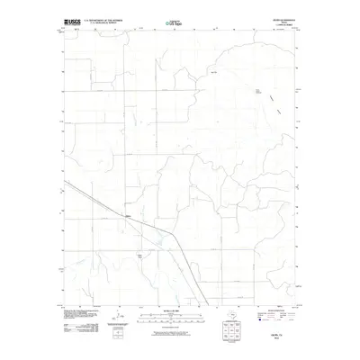
2010 Map of Gilpin
USGS Topo · Published 2010About this map
Gilpin stands as the primary settlement in this corner of Dickens County, situated where FM 3294 meets the local road network. The landscape is defined by the drainage patterns of Duck Creek and its tributary, Dry Duck Creek, which carve through the plains. A notable landmark for local history researchers is the Molly Bailey Windmill, located in the northeastern quadrant near the descent into Getaway Canyon. The terrain transitions from the elevated heights of Red Hill down toward Sage Draw, illustrating the sparse but deliberate placement of ranching infrastructure. This 2010 survey by the U.S. Geological Survey details the grid of county roads, such as Co RD 388 and Co RD 404, that connect these isolated water sources and topographical features in the Texas Panhandle.
Find a feature on this map
23 named features on this map. Tap any name to fly to it.
Don’t see what you’re looking for? This feature index may not catch every label — zoom into the map to look around manually.
Map Details
Editions of this 2010 Gilpin Map
This is the sole edition of this map. No revisions or reprints were ever made.
Other maps of this area

1954 · Lubbock
USGS Topo · 1:250,000

1958 · Pursley House
USGS Topo · 1:24,000

1958 · Jayton
USGS Topo · 1:24,000

1959 · Gilpin
USGS Topo · 1:24,000

1959 · Girard
USGS Topo · 1:24,000

1967 · Dickens South
USGS Topo · 1:24,000

1967 · Spur
USGS Topo · 1:24,000

1968 · Pitchfork Ranch
USGS Topo · 1:24,000

1968 · White Camp
USGS Topo · 1:24,000

1968 · Croton Camp
USGS Topo · 1:24,000