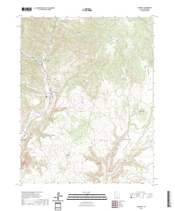
2023 Map of Glendale
USGS Topo · Published 2023About this map
The East Fork Virgin River carves through the dramatic landscape of Long Valley, where the community of Glendale sits at the junction of Lydia Canyon and Bens Hollow. This topographic study reveals the town’s grid centered around W Center St and S Main St, including the Glendale City Cem and the nearby Harris Cem. The terrain shifts from the high elevations of Black Mtn and Spencer Bench in the north toward the distinct geological formations of the Elkheart Cliffs and White Cliffs in the south.
Find a feature on this map
44 named features on this map. Tap any name to fly to it.
Don’t see what you’re looking for? This feature index may not catch every label — zoom into the map to look around manually.
Map Details
Editions of this 2023 Glendale Map
This is the sole edition of this map. No revisions or reprints were ever made.
Other maps of this area

1886 · Kanab
USGS Topo · 1:250,000

1953 · Cedar City
USGS Topo · 1:250,000

1954 · Johnson
USGS Topo · 1:62,500

1957 · Kanab
USGS Topo · 1:62,500

1958 · Cedar City
USGS Topo · 1:250,000

1958 · Orderville
USGS Topo · 1:62,500

1962 · Cedar City
USGS Topo · 1:250,000

1966 · Alton
USGS Topo · 1:24,000

1966 · Bald Knoll
USGS Topo · 1:24,000
1980 · Kanab
USGS Topo · 1:100,000