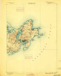
1888 Map of Gloucester
USGS Topo · Published 1888About this map
The rocky promontory of Cape Ann is captured in this survey, emphasizing the maritime character and granite-scarred geography of the late nineteenth century. Gloucester serves as the primary hub, where the Boston and Maine Railroad and its Gloucester Branch link the harbor to the mainland. At this time, the landscape is defined by coastal fishing villages and nascent summer colonies, from the secluded Lanesville and Pigeon Cove in the north to the established wharves of Gloucester Harbor.
Find a feature on this map
69 named features on this map. Tap any name to fly to it.
Don’t see what you’re looking for? This feature index may not catch every label — zoom into the map to look around manually.
Map Details
Editions of this 1888 Gloucester Map
This is the sole edition of this map. No revisions or reprints were ever made.
Other maps of this area
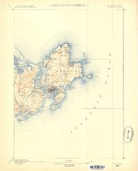
1886 · Gloucester
USGS Topo · 1:62,500
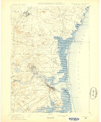
1888 · Newburyport
USGS Topo · 1:62,500
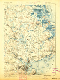
1888 · Salem
USGS Topo · 1:62,500
1890 · Newburyport
USGS Topo · 1:62,500
1892 · Boston Bay
USGS Topo · 1:62,500
1893 · Salem
USGS Topo · 1:62,500
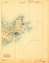
1893 · Gloucester
USGS Topo · 1:62,500
1894 · Newburyport
USGS Topo · 1:62,500
1903 · Boston Bay
USGS Topo · 1:62,500
1917 · Salem
USGS Topo · 1:62,500