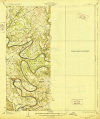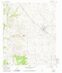
1961 Map of Godley
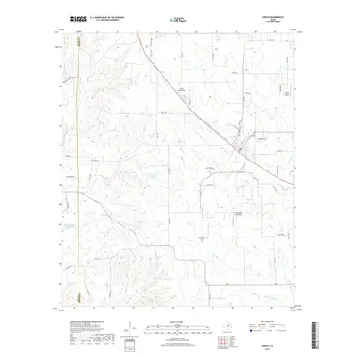
USGS Topo · Published 1985About this map
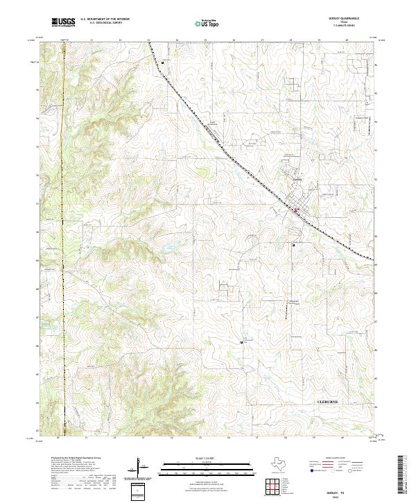
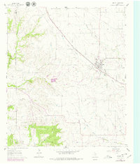
The Atchison Topeka and Santa Fe railroad serves as the primary corridor through this portion of Johnson County, anchoring the town of Godley. The landscape is defined by the dendritic drainage of the Nolan River and the West Fork Nolan River, which are fed by numerous smaller tributaries such as Station Branch, Wright Branch, and Willow Creek. This topographic record illustrates a rural economy transitioning through the mid-20th century, where traditional land use meets localized industry, evidenced by a Quarry and Gravel Pit along the western ridges.
Find a feature on this map
16 named features on this map. Tap any name to fly to it.
Don’t see what you’re looking for? This feature index may not catch every label — zoom into the map to look around manually.
Map Details
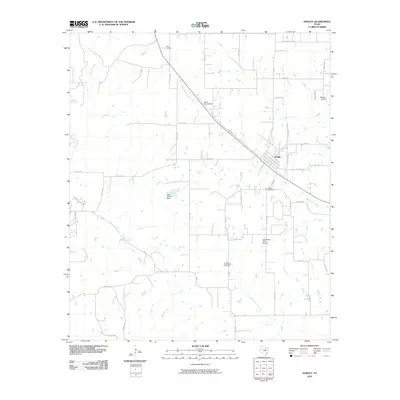
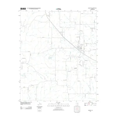
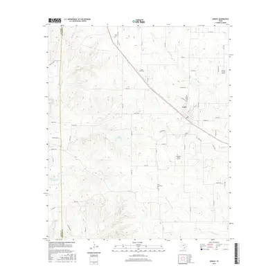
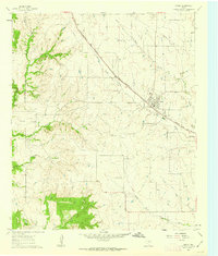
Editions of this 1961 Godley Map
Historical Maps of Cleburne Through Time
7 maps found