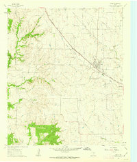
1961 Map of Godley
USGS Topo · Published 1963About this map
The town of Godley serves as the focal point of this Johnson County landscape in the early 1960s, situated at the intersection of the Gulf Colorado and Santa Fe railroad and local rural routes. The terrain is defined by a dense network of drainage, where Little Creek and Station Branch feed into the Nolan River and its West Fork. This hydrology is punctuated by small-scale industrial operations including a Quarry and a Gravel Pit, reflecting the local extraction economy of the period.
Find a feature on this map
17 named features on this map. Tap any name to fly to it.
Don’t see what you’re looking for? This feature index may not catch every label — zoom into the map to look around manually.
Map Details
Editions of this 1961 Godley Map
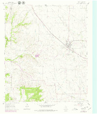
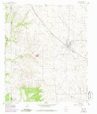
Other maps of this area

1889 · Granbury
USGS Topo · 1:125,000

1891 · Weatherford
USGS Topo · 1:125,000

1891 · Cleburne
USGS Topo · 1:125,000

1893 · Weatherford
USGS Topo · 1:125,000

1894 · Cleburne
USGS Topo · 1:125,000

1894 · Fort Worth
USGS Topo · 1:125,000

1923 · Granbury 1-b
USGS Topo · 1:48,000

1924 · Granbury 1-c
USGS Topo · 1:48,000

1928 · Godley
USGS Topo · 1:62,500

1954 · Dallas
USGS Topo · 1:250,000