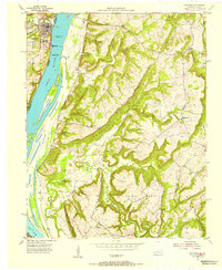
1954 Map of Golconda
USGS Topo · Published 1955About this map
Golconda, Illinois, sits at the center of this mid-century survey, overlooking the Ohio River at a vital navigational point. The landscape is defined by the massive Pryor Island and the operational Lock and Dam No 51, which regulated the river's depth between the levels of Normal Pool Elev 310 and Normal Pool Elev 302. Across the river in Kentucky, the terrain rises sharply into the distinctive Newmans Bluff and Goodhope Bluff, where small rural communities like Joy supported their own local institutions.
Find a feature on this map
41 named features on this map. Tap any name to fly to it.
Don’t see what you’re looking for? This feature index may not catch every label — zoom into the map to look around manually.
Map Details
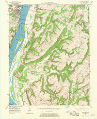
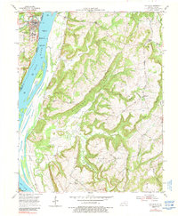
Editions of this 1954 Golconda Map
3 editions found
Other maps of this area

1916 · Golconda
USGS Topo · 1:62,500

1917 · Brownfield
USGS Topo · 1:62,500

1920 · Goloonda
USGS Topo · 1:48,000

1921 · Golconda
USGS Topo · 1:62,500

1926 · Paducah
USGS Topo · 1:62,500

1929 · Smithland
USGS Topo · 1:62,500

1929 · Paducah
USGS Topo · 1:62,500

1936 · Smithland
USGS Topo · 1:48,000

1940 · Paducah
USGS Topo · 1:62,500
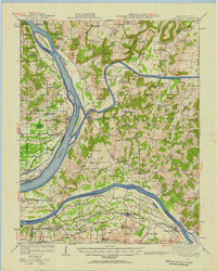
1942 · Smithland
USGS Topo · 1:62,500