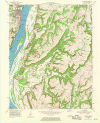
1954 Map of Golconda
USGS Topo · Published 1970About this map
Golconda serves as the focal point of this mid-century survey, situated along the Ohio River where the Illinois Central railroad and a pump tower supported local riverborne commerce. The landscape is defined by the massive river and the nearby Lock and Dam No 51, while the interior terrain is marked by prominent ridges and hollows, including Newmans Bluff and Duley Bluff.
Find a feature on this map
30 named features on this map. Tap any name to fly to it.
Don’t see what you’re looking for? This feature index may not catch every label — zoom into the map to look around manually.
Map Details
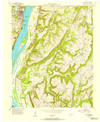
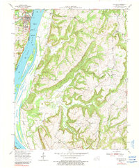
Editions of this 1954 Golconda Map
3 editions found
Other maps of this area

1916 · Golconda
USGS Topo · 1:62,500

1917 · Brownfield
USGS Topo · 1:62,500

1920 · Goloonda
USGS Topo · 1:48,000

1921 · Golconda
USGS Topo · 1:62,500

1926 · Paducah
USGS Topo · 1:62,500

1929 · Smithland
USGS Topo · 1:62,500

1929 · Paducah
USGS Topo · 1:62,500

1936 · Smithland
USGS Topo · 1:48,000

1940 · Paducah
USGS Topo · 1:62,500
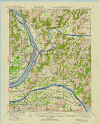
1942 · Smithland
USGS Topo · 1:62,500