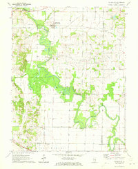
1971 Map of Golden Gate
USGS Topo · Published 1973About this map
The Little Wabash River defines the landscape of southeastern Illinois in the early 1970s, carving a winding path through the Leech and Golden Gate Oil Field. This survey captures the rural economy of the era, where active oil wells and the Southern Railway intersect with a deep family history etched into the land. Numerous family-named cemeteries such as Wilson Cem, Gash Cem, and Winland Cem dot the uplands, while structures like the Old Iron Bridge and Hodgson Bridge mark critical crossing points over the river's oxbows and sloughs.
Find a feature on this map
47 named features on this map. Tap any name to fly to it.
Don’t see what you’re looking for? This feature index may not catch every label — zoom into the map to look around manually.
Map Details
Editions of this 1971 Golden Gate Map
This is the sole edition of this map. No revisions or reprints were ever made.
Other maps of this area

1940 · Carmi
USGS Topo · 1:62,500

1941 · Enfield
USGS Topo · 1:62,500

1943 · Carmi
USGS Topo · 1:62,500

1943 · Albion
USGS Topo · 1:62,500

1944 · Enfield
USGS Topo · 1:62,500

1946 · Albion
USGS Topo · 1:62,500

1948 · Fairfield
USGS Topo · 1:62,500

1958 · Belleville
USGS Topo · 1:250,000

1962 · Belleville
USGS Topo · 1:250,000
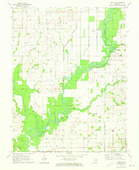
1971 · Albion NW
USGS Topo · 1:24,000