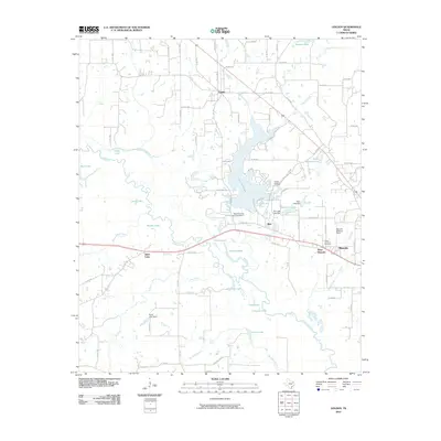
2010 Map of Golden
USGS Topo · Published 2010About this map
Golden serves as a primary hub in this Wood County landscape, situated amidst a dense network of water bodies and regional drainage. The Sabine River snakes through the southern portion of the area, feeding into a series of oxbows and named lakes including Silver Lake, Brushy Lake, and Grassy Lake. This hydrology is further defined by modern infrastructure such as Wood County Dam Number 2, which forms Lake Holbrook.
Find a feature on this map
91 named features on this map. Tap any name to fly to it.
Don’t see what you’re looking for? This feature index may not catch every label — zoom into the map to look around manually.
Map Details
Editions of this 2010 Golden Map
This is the sole edition of this map. No revisions or reprints were ever made.
Other maps of this area

1956 · Tyler
USGS Topo · 1:250,000

1958 · Alba
USGS Topo · 1:24,000

1959 · Calvary
USGS Topo · 1:24,000

1959 · Golden
USGS Topo · 1:24,000

1959 · Grand Saline
USGS Topo · 1:24,000

1959 · Van
USGS Topo · 1:24,000

1959 · Van Lake
USGS Topo · 1:24,000

1959 · Grand Saline
USGS Topo · 1:62,500

1959 · Alba
USGS Topo · 1:62,500

1960 · Lindale
USGS Topo · 1:24,000