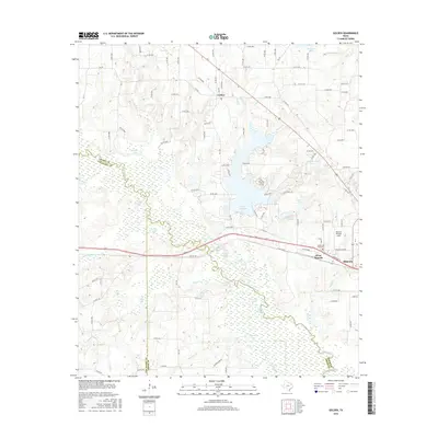
2016 Map of Golden
USGS Topo · Published 2016About this map
The Sabine River winds through a dense network of wetlands and oxbow lakes in this Wood County landscape, defining the border with Van Zandt and Smith counties. Significant water bodies such as Lake Holbrook, Sand Springs Lake, and Charter Lake dominate the geography, illustrating the complex hydrology of the river basin. The settlement of Golden occupies the northern reaches, while the western edge of Mineola and West Mineola appear in the southeast near the Mineola Wisener Field aviation grounds.
Find a feature on this map
110 named features on this map. Tap any name to fly to it.
Don’t see what you’re looking for? This feature index may not catch every label — zoom into the map to look around manually.
Map Details
Editions of this 2016 Golden Map
This is the sole edition of this map. No revisions or reprints were ever made.
Other maps of this area

1956 · Tyler
USGS Topo · 1:250,000

1958 · Alba
USGS Topo · 1:24,000

1959 · Calvary
USGS Topo · 1:24,000

1959 · Golden
USGS Topo · 1:24,000

1959 · Grand Saline
USGS Topo · 1:24,000

1959 · Van
USGS Topo · 1:24,000

1959 · Van Lake
USGS Topo · 1:24,000

1959 · Grand Saline
USGS Topo · 1:62,500

1959 · Alba
USGS Topo · 1:62,500

1960 · Lindale
USGS Topo · 1:24,000