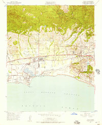
1950 Map of Goleta
USGS Topo · Published 1957About this map
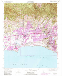
Santa Barbara Airport and the expanding University of California at Santa Barbara anchor this coastal landscape at the mid-century, where the traditional ranching heritage of the Los Dos Pueblos and La Goleta land grants meets modern infrastructure. The Pacific Southern railroad cuts through the heart of the valley, serving Goleta Station and a series of industrial sidings near Goleta. The map reveals a complex hydraulic environment where numerous mountain drainages like Maria Ygnacio Creek and San Jose Creek converge into the Goleta Slough near Mescalitan Island. Residential developments are beginning to rise on the slopes of the Santa Ynez Mountains at the San Marcos Trout Club, while the southern coastal bluffs are defined by the manicured grounds of Hope Ranch and the Laguna Blanca School.
Find a feature on this map
46 named features on this map. Tap any name to fly to it.
Don’t see what you’re looking for? This feature index may not catch every label — zoom into the map to look around manually.
Map Details
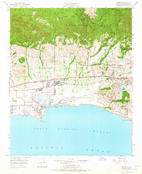
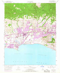
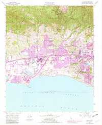
Editions of this 1950 Goleta Map
6 editions found
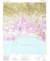
Other maps of this area

1902 · Santa Ynez
USGS Topo · 1:125,000

1905 · Santa Ynez
USGS Topo · 1:125,000

1941 · San Rafael Mtn.
USGS Topo · 1:62,500

1942 · Goleta
USGS Topo · 1:62,500

1942 · San Rafael Mtn.
USGS Topo · 1:62,500

1942 · Little Pine Mountain
USGS Topo · 1:24,000

1943 · San Rafael Mtn.
USGS Topo · 1:62,500

1944 · Santa Barbara
USGS Topo · 1:31,680
1944 · Little Pine Mountain
USGS Topo · 1:31,680

1949 · Los Angeles
USGS Topo · 1:250,000