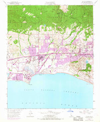
1950 Map of Goleta
USGS Topo · Published 1968About this map
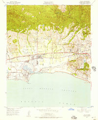
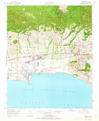
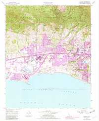
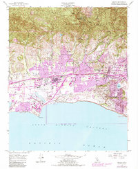
The Santa Ynez Mountains overlook a rapidly expanding coastal plain where traditional ranch lands and modern development meet. This mid-century landscape is defined by the transformation of the Los Dos Pueblos Lands and Pueblo Lands of Santa Barbara into a dense educational and residential corridor. The expansion of the University of California at Santa Barbara at Goleta Point and the activity at the Santa Barbara Airport signal the area's transition into a regional hub. Near the Goleta Slough, the presence of Mescalitan Island offers a glimpse into the coastal geography before extensive dredging and fill altered the estuary. Settlement patterns follow the Southern Pacific tracks, connecting established sites like Goleta and Devereux Ranch with emerging suburban neighborhoods like Isla Vista. Local social history is anchored by landmarks such as the Goleta Cem and several community schools including Mountain View Sch and Foothill Sch.
Find a feature on this map
63 named features on this map. Tap any name to fly to it.
Don’t see what you’re looking for? This feature index may not catch every label — zoom into the map to look around manually.
Map Details
Editions of this 1950 Goleta Map
6 editions found
Other maps of this area

1902 · Santa Ynez
USGS Topo · 1:125,000

1905 · Santa Ynez
USGS Topo · 1:125,000

1941 · San Rafael Mtn.
USGS Topo · 1:62,500

1942 · Goleta
USGS Topo · 1:62,500

1942 · San Rafael Mtn.
USGS Topo · 1:62,500

1942 · Little Pine Mountain
USGS Topo · 1:24,000

1943 · San Rafael Mtn.
USGS Topo · 1:62,500

1944 · Santa Barbara
USGS Topo · 1:31,680
1944 · Little Pine Mountain
USGS Topo · 1:31,680

1949 · Los Angeles
USGS Topo · 1:250,000